Wisco Aerial & Ground Services: Certified Landscapers Serving Stoughton, WI 53589
Stoughton, WI 53589
Business Offerings
- Real estate
Business Overview
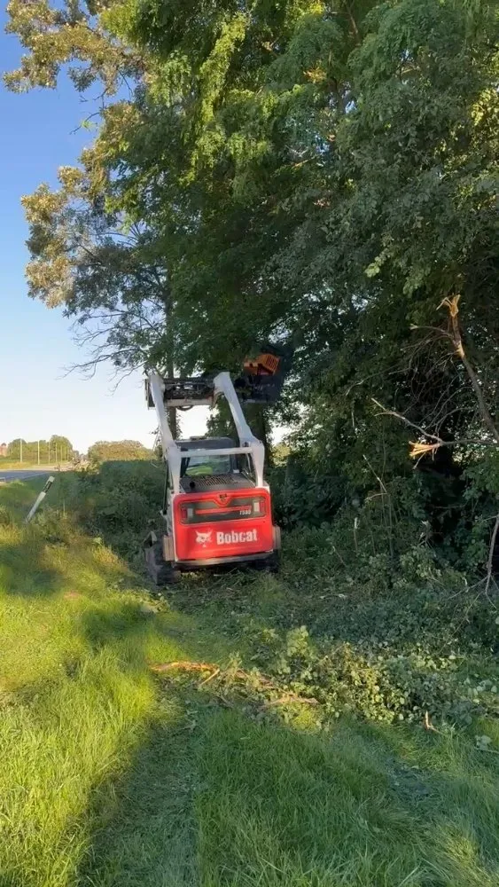
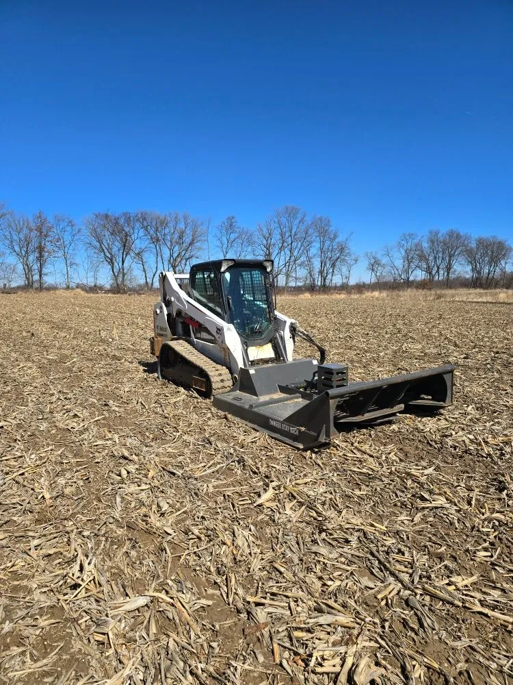
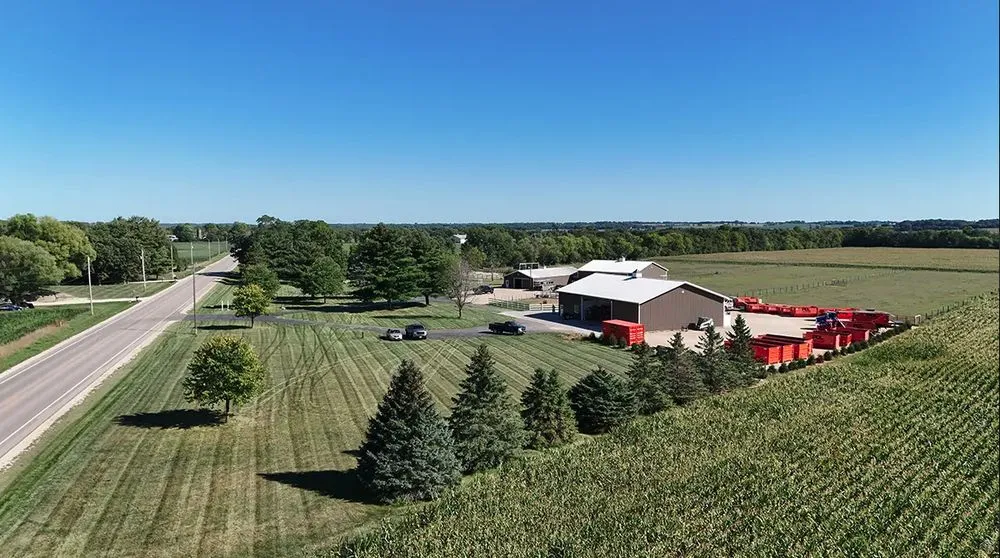
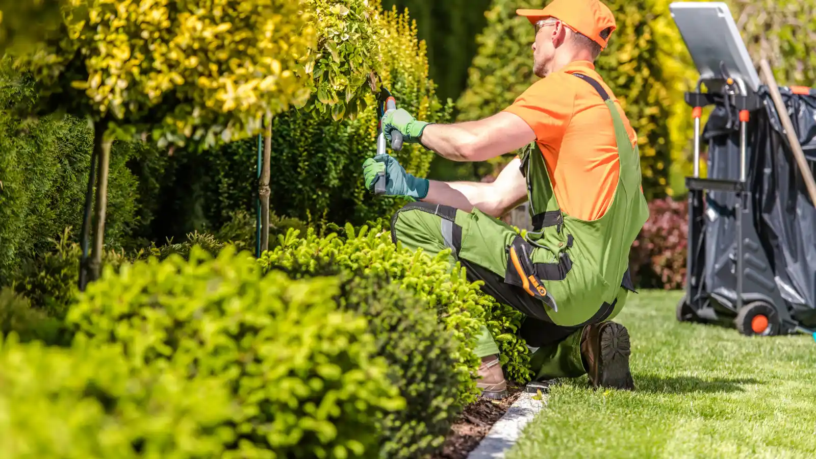
Wisco Aerial & Ground Services, based in Stoughton, WI, is a federally certified and insured drone operation specializing in practical solutions for property owners. We combine aerial technology with hands-on ground services to address a wide range of local needs. Our primary tool is a thermal-equipped drone, which we use for specialized tasks like locating lost pets and livestock, conducting roof and solar panel inspections, and assisting hunters with downed game recovery. On the ground, our services directly support real estate transactions and land management. We offer property clean-ups, brush mowing, fence line maintenance, and the installation of food plots and hunting blinds. This dual approach allows us to provide a comprehensive view and actionable care for your land, whether you're preparing a home for sale, managing acreage, or addressing specific property challenges in the Stoughton area.
Question Answers
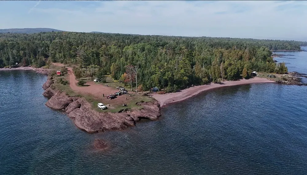
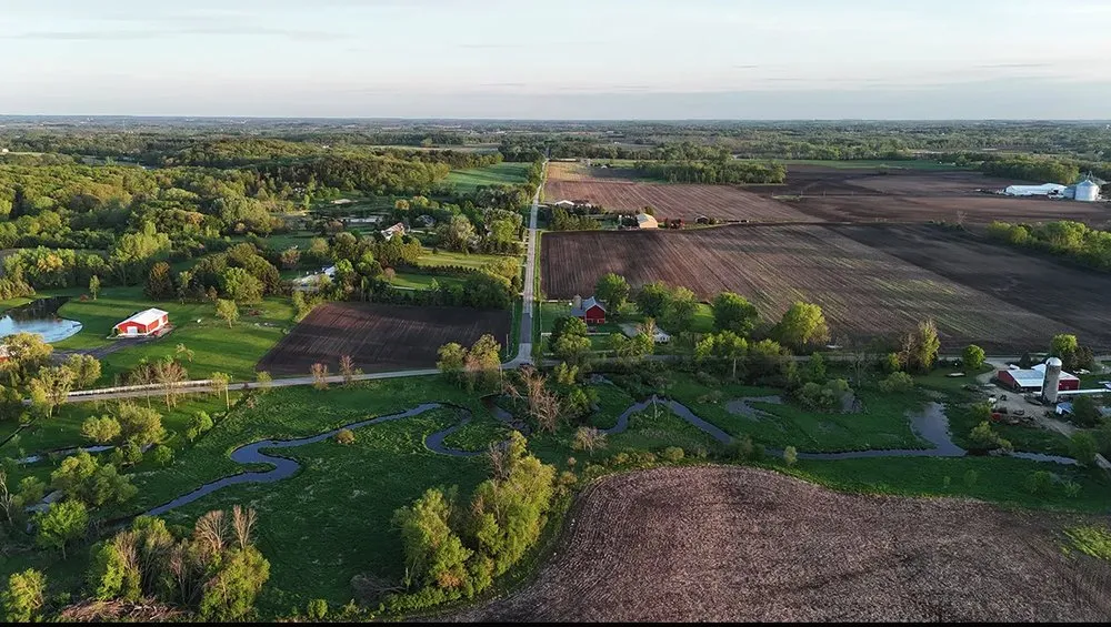
How can aerial photography help sell my home in Stoughton?
Our aerial photography provides a unique perspective that showcases your property's full layout, acreage, and features, which is especially valuable for homes with land. For real estate listings, this helps potential buyers better understand the property's scope and setting. We also offer complementary ground services like property clean-up and brush mowing to ensure the land looks its best from every angle, giving your listing a competitive edge in the local market.
Can you help with common local landscaping issues like poor lawn grading?
Absolutely. We address common Stoughton-area issues like poor drainage and uneven terrain through our land management services. Using our drone, we can first map and identify problem areas related to grading or water pooling from an aerial view. Then, our ground team can perform the necessary brush clearing, leveling, or cleanup to improve water flow and lawn health, creating a more stable and usable outdoor space.
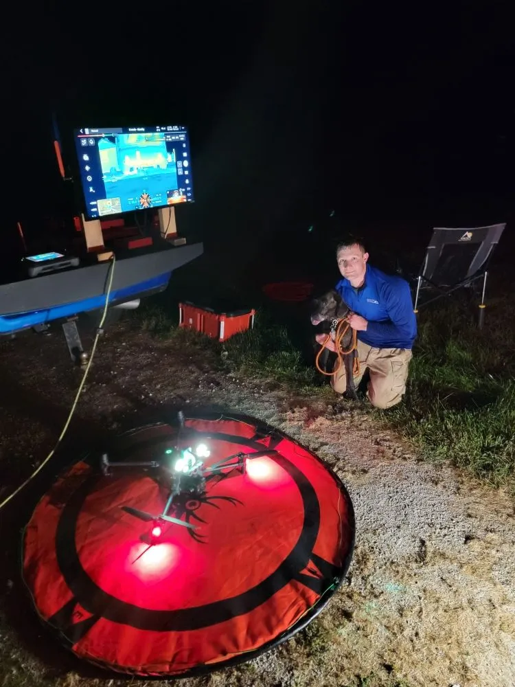
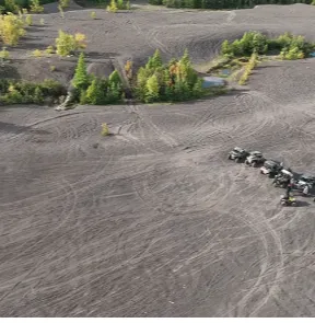
What does your thermal drone service involve for finding lost animals?
As a federally certified UAV pilot, I use a thermal imaging drone to detect heat signatures, making it highly effective for locating lost pets, livestock, or horses, especially at night or in dense cover. The thermal camera can spot an animal's body heat from the air in areas where a visual search is difficult. This service provides a thorough, efficient search method for worried pet and livestock owners in our community.
Similar Landscaping Companies in Stoughton, WI
Jim's Tree Service
138 Wisconsin, Stoughton, WI
JB Enterprises
709 Nygaard St, Stoughton, WI
Tangeman Tree Care
Stoughton, WI
AMS Lawn & Landscapes
Stoughton, WI